
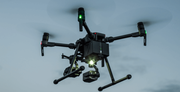
 DJI MATRICE 210V2
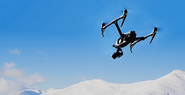 DJI INSPIRE 2
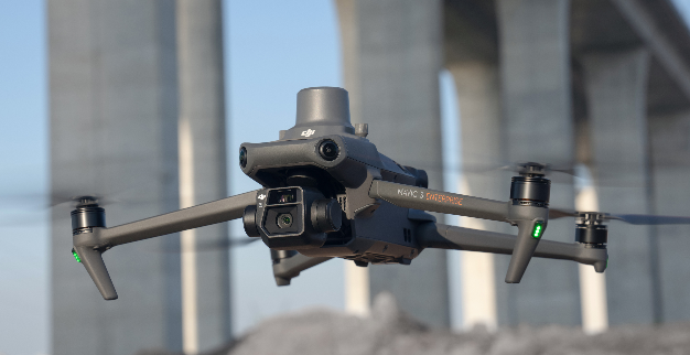 DJI MAVIC 3E/T
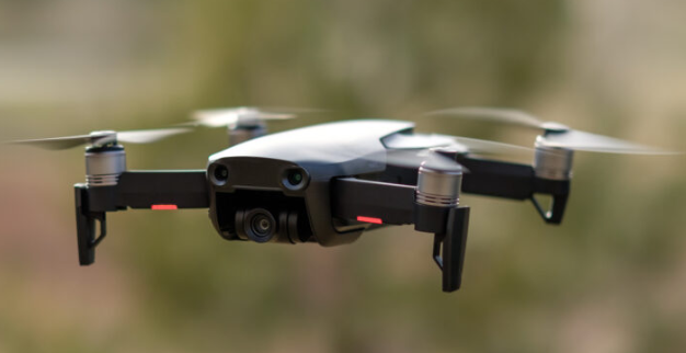 DJI MAVIC AIR
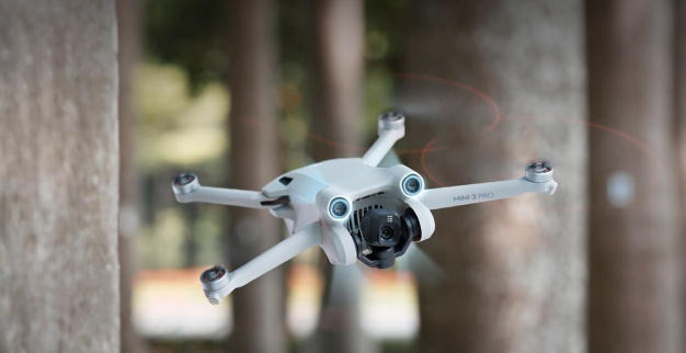 DJI MINI 3 PRO
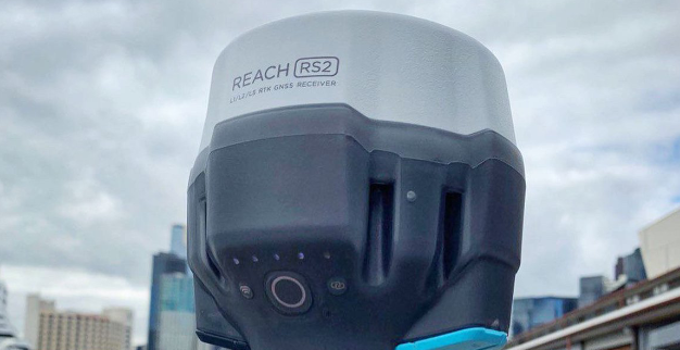 EMLID REACH RS2


Corsi formazione
The great innovation that allows you to film in high quality even over crowds of people with enormous stability and efficiency. The support cable makes our camera the most stable and lightest in its class.
Training courses
In cooperation with flight schools and external companies, we supervise the training of pilots and staff and provide the necessary advice for continuing education programmes with high quality standards.
Maintenance
We dispose of a well-equipped facility and trained technicians to carry out line and base maintenance according to manufacturers’ requirements on our own fleet of aircraft and on behalf of third parties.
Manuals
Over the years, our operations department has gained particular experience in the drafting of manuals (SORA, ERP, …). We are happy to make our knowledge available to customers.


